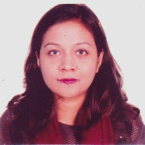
Maliha Binte Mohiuddin
USAID GeoCenter, Bangladesh
Title: Elevating the skills of youth through the humanitarian remote mapping with the thrive of YouthMappers network
Biography
Biography: Maliha Binte Mohiuddin
Abstract
Elevating the skills of youth through the humanitarian remote mapping with the thrive of YouthMappers network
Maliha Binte Mohiuddin
USAID GeoCenter, Bangladesh
Abstract
YouthMappers network is a comprehensive association of university-based student-led groups, organized to create open spatial data for community development or humanitarian needs. YouthMappers was launched in 2015 with support by the United States Agency for International Development (USAID) GeoCenter and by researchers and students at Texas Tech University, George Washington University, and West Virginia University. YouthMappers aims to support a generation of mappers using web-based open geospatial technologies (i.e., OpenStreetMap)to create map data by identifying locations of buildings, roads and other features on satellite imagery and add detailed attributes such as types of buildings (hospitals, schools) street names or directional information from local student knowledge. The range of volunteer mapping projects undertaken by YouthMappers contribute to fundamental geospatial data that can inform this spectrum of needed information. This research is an opinion survey research. That is why we will mostly collect data from primary sources of information. Selection of data collection method will depend on the objectives of the study and types of information needed. This section presents an overview of the methods that will be used in this research. In the research mainly three research methods are used: Survey questionnaire, interview and observation. Likewise, through YouthMappers work on malaria prevention, we have shown that the scaled-up network of students focused on a development purpose related to the SDGs performs at least as good as any OSM volunteer at large. This may be encouraging at the same time it prods to research how, not only further improve data quality as traditionally measured, but also how to rethink what is meant by data quality. YouthMappers are doing this through the design and implementation of a method of collaborative action in the applied domain that operates at a global scale: YouthMappers' participatory spatial data creation. This is an important stance if the public in general, and youth, can become important actors and partners to their governments in meeting the SDGs, especially in developing regions of the world.
Biography: Maliha Binte Mohiuddin is working as a Regional Ambassador for the YouthMappers Network, USAID GeoCenter.
mohiuddin.maliha@gmail.com

